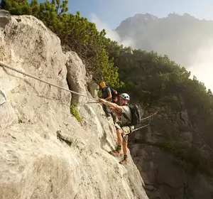
How it works ...
There are different control points – so called stations – in the terrain between Hoch-Imst and the Untermarkter Alm. The red and white panels have a control pincer on a wooden post. On the map these stations are marked with a purple circle and a number.
INFO: There are altogether three different routes in the Hoch-Imst station network.

off into Nature ...
Get away from everyday life and into the nature experience including mental challenges: All orienteering stations are precisely marked on the map – the path how to get to them, however, is not obvious at first glance. The aim is to find all the stations in the given order. Exciting fun for all those who like to plan independently & experience adventures outdoors. No run is like the other – so you can expect a real challenge every time!
Tips
for getting started
Align the map - simply turn it until the map and the terrain match.
- Find the first station number - which way leads fastest to the destination?
- Check the station - the number tells you whether the station you have found is the right one.